Provinces: New Brunswick
Here you will find a variety of printable teaching resources for teaching students about the Canadian Province of New Brunswick.
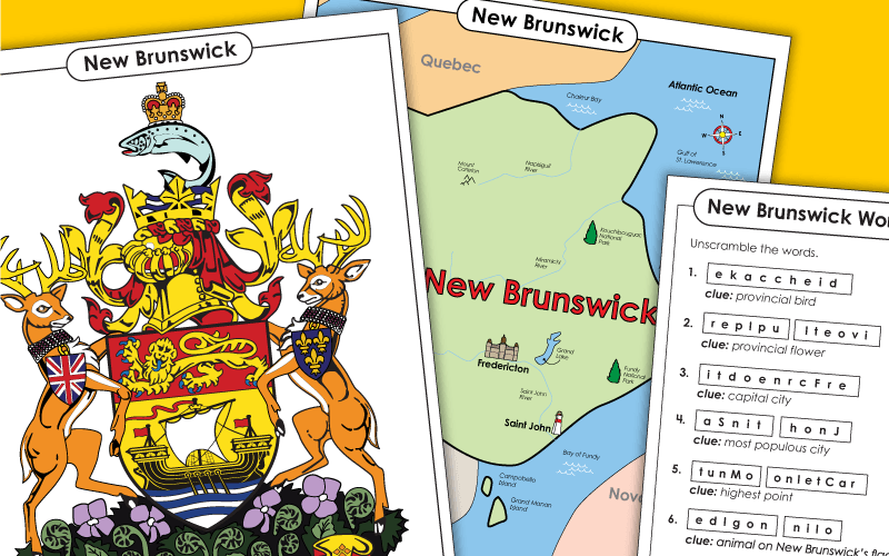
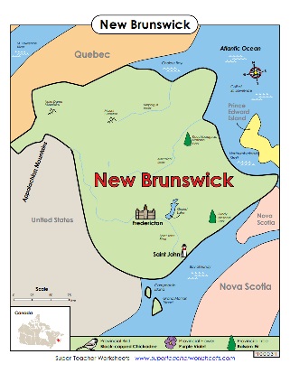
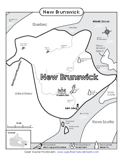
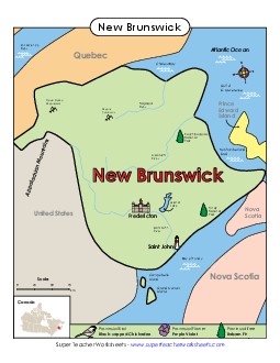
This map of New Brunswick includes many important landmarks, major cities, and bodies of water.
Kindergarten to 8th Grade
Filing Cabinet
Logged in members can use the Super Teacher Worksheets filing cabinet to save their favorite worksheets.
Quickly access your most used files AND your custom generated worksheets!
Please login to your account or become a member and join our community today to utilize this helpful feature.
This full-colour map of New Brunswick shows important landmarks and cities.
Kindergarten to 8th Grade
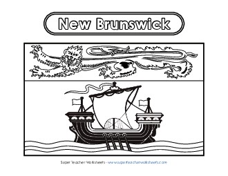
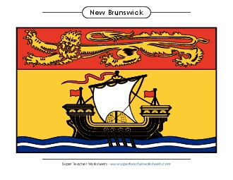
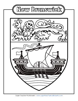
Your class can use markers or crayons to colour the lion and ship on New Brunswick flag.
1st through 8th Grades
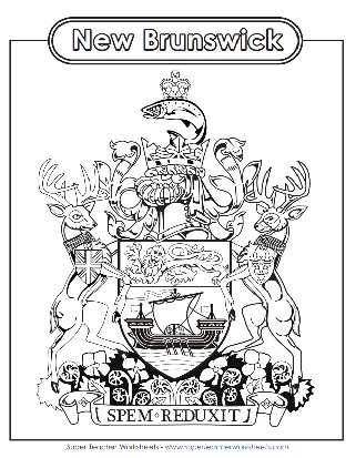
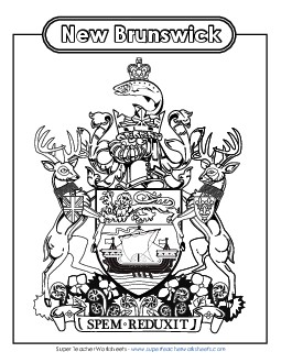
Here is a full colour poster of the NB coat of arms. The image features a pair of white tailed deer supporting a shield, with St. Edward's crown and a trout on top.
2nd through 8th Grades
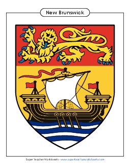
And here we have a full colour PDF poster of the N.B. escutcheon that you can print and hang up on your classroom wall.
2nd through 8th Grades
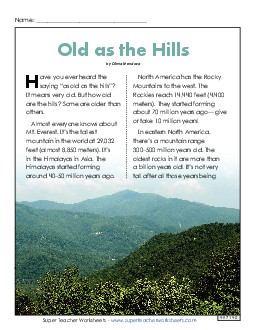
At 820 meters tall, Mount Carleton is the highest point in the province. Its parent range is the Appalachians. Learn about them – and that “Appalachia” refers to something else – in this passage.
4th Grade
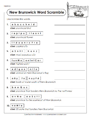
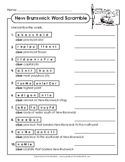
Unscramble the words and phrases related to the province of New Brunswick. Words in this puzzle include purple violet, chickadee, Fredericton, Saint John, Mount Carleton, Bay of Fundy, and golden lion.
2nd through 5th Grades
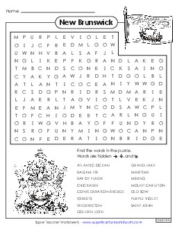
Find terms like Mount Carleton, Grand Lake, and Saint John in this worksheet made for the province of New Brunswick.
2nd through 5th Grades
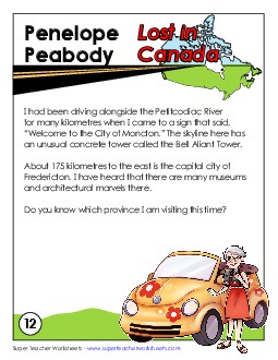
Penelope Peabody travels around Canada, but she keeps getting lost. This time, she's visiting museums and marveling at the architecture in the city of Fredericton. Can you students figure out which province she's in?
4th through 6th Grades
Here we have printable resources on Canadian geography, as well as each individual province.
