Northwest Territories
Here are some printable worksheets, flags, and maps for teaching students about Canada's Northwest Territories.
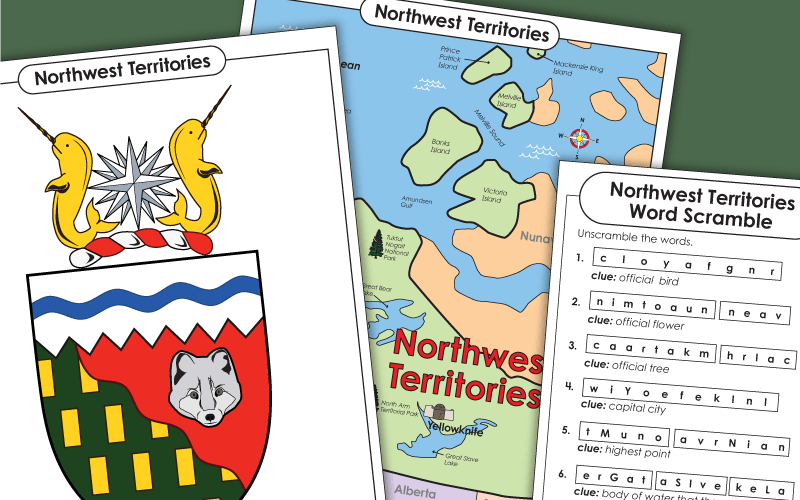
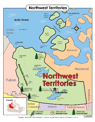
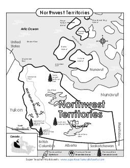
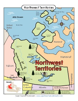
Print out this informative map to help students learn about the Northwest Territories.
Kindergarten to 8th Grade
Filing Cabinet
Logged in members can use the Super Teacher Worksheets filing cabinet to save their favorite worksheets.
Quickly access your most used files AND your custom generated worksheets!
Please login to your account or become a member and join our community today to utilize this helpful feature.
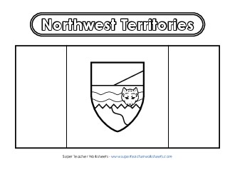
Use red, green, and blue crayons to colour in this illustration of the flag for the Northwest Territories. (Be sure your print settings are set to landscape mode when you print this one.)
1st through 8th Grades
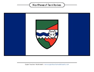
Here is the full colour version of the flag for the Northwest Territories, Canada.
1st through 8th Grades
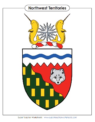
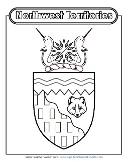
This printable has a colouring-book style image of the Coat of Arms for the Northwest Territories. Your pupils can colour the narwhals, the white fox, the compass rose, and the shield.
2nd through 8th Grades
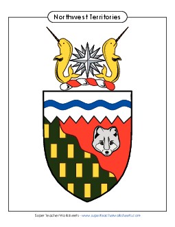
Print a full colour version of the NWT coat of arms and hang it on your classroom wall.
2nd through 8th Grades
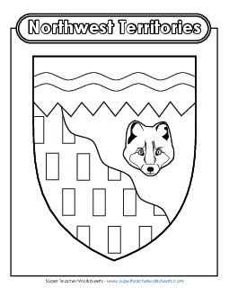
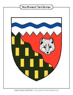
This is a black and white outlined illustration of the NWT escutcheon that your pupils can colour.
2nd through 8th Grades
Word Scramble FREE
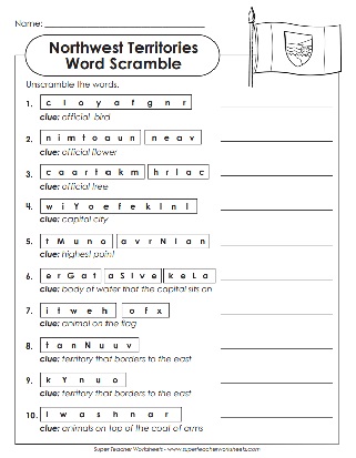
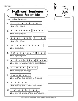
Your students can learn more about Northwest Territories by completing this word scramble.
2nd through 5th Grades
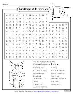
Fifteen terms that have something to do with the Northwest Territories are hidden in this puzzle, such as: Arctic Circle, mining, and Great Bear Lake. Can you find them all?
2nd through 5th Grades
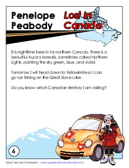
Penelope Peabody is lost. Students read the story and determine which province or territory she's visiting. In this edition, she mentions that she's headed to Yellowknife to go ice fishing on the Great Slave Lake.
4th through 6th Grades
Find maps, flags, and coats of arms for each of the thirteen territories and provinces of Canada.
